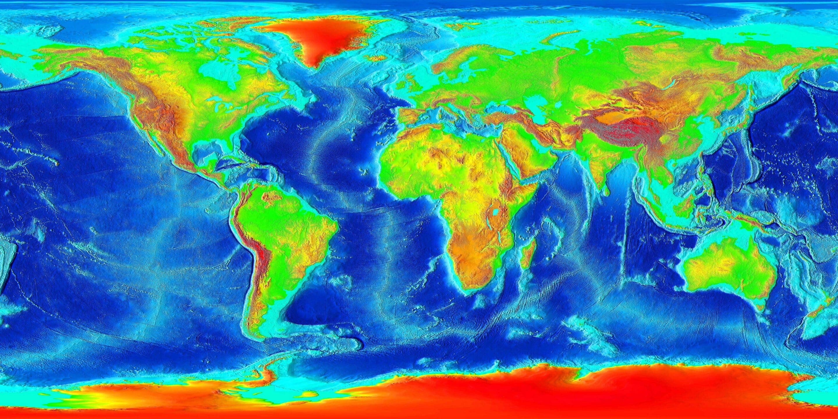
Ocean experts at the General Bathymetric Chart of the Ocean have called for maps of the ocean floor to be made much like those of the Moon and Mars have been. Unlike the surface of those planetary bodies, much of Earth’s ocean floor hasn’t been mapped. In fact, large areas of the oceans are still represented by ancient mariner’s measurements. Today, only 5% of the seafloor has been mapped using modern methods whereas the entire Moon’s surface is known to a resolution of 7m. Leaving the GEBCO to question when the ocean floor will be mapped.
Why Mapping The Ocean Floor Is So Important
Two-thirds of the Earth’s surface lies under water. Until recent years, that fact didn’t really matter. The oceans were mapped only to find the safest routes for maritime traffic. Every ship from cruises to supertankers to trawlers used these maps for safety and guidance, but the way of the world is shifting and so is the use of the oceans.
As organizations explore new industries like submarine mining and offshore wind farms, they need to know and understand the shape and depth of the ocean’s floor. But, mapping the ocean floor goes beyond just commerce and industry. Knowing the layout of the ocean’s floors may, in fact, help predict and forecast storm surges, which would further coastal areas safety warnings. The problem with mapping the ocean floor is that no one really wants to be responsible for paying for such a large endeavor.
Mapping Takes Time and Money
Even with today’s technology and survey vessels, it would cost tens of thousands of dollars a day to run a mapping operation. Using echo-sounding methods or even multibeam methods, mapping an area the size of London would take days. While creating a base map that only skirted on the edge of detail would not be as difficult, it also would not be as beneficial. Circumstances like the Malaysian airliner MH370 have proven difficult because there isn’t any detail about the ocean’s floor. In the case of the missing airliner, scientists and researchers have spent months laying the base of a detailed map, but more details are needed for the map to be effective.
What’s The Solution?
While there isn’t an official solution right now, there is an idea that resembles NASA’s missions to map the unexplored universe. Scientists could map a majority of the ocean’s floor by sending out an uncrewed barge with a large sonar array. The barge would travel around the world autonomously for a third of the cost of a conventional mission and it wouldn’t have the need to come back to port. Much like NASA’s missions, the barge would send back the mapped information to a research facility to be analyzed and recorded.
Are you ready to start exploring like a NASA researcher or even an ocean floor cartographer? With StartoStar, you can send your own mission into space and start exploring today! Through project-based learning and weather balloon launches, StratoStar encourages students of all ages to explore the unknown and the world around them.


